Search

Rock Island Island on Lake Vernon
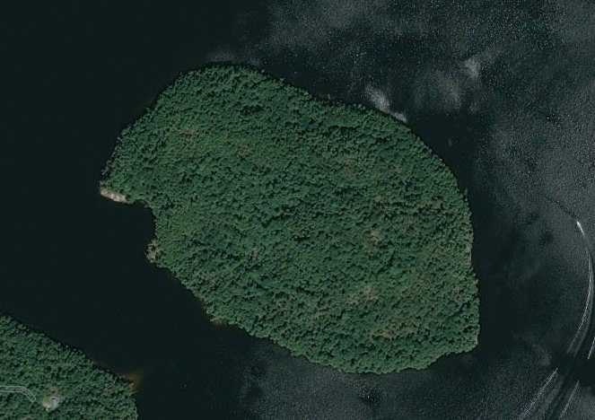
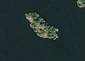
Aerial Map of Rock Island Island on Lake Vernon
Official NameRock Island Island
Number of Properties on Rock Island Island1
Perimeter of Rock Island Island2.05 km (1.3 miles)
Area of Rock Island Island26.82 ha (66.3 acres)
LakeLake Vernon
DistrictMuskoka
MunicipalityHuntsville
View on Google Earth in 3DRock Island Island on Lake Vernon in Google Earth
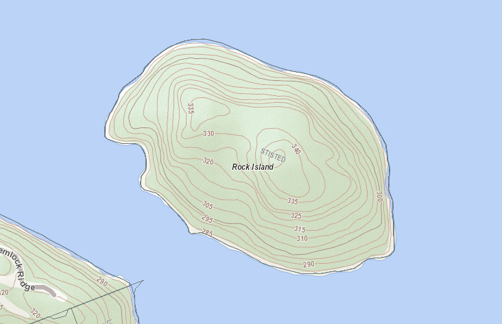
Topographical Map of Rock Island Island on Lake Vernon
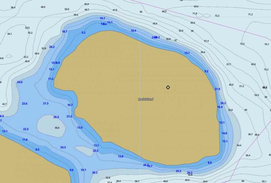
Contour Map of Lake Vernon around Rock Island Island

Other Islands in Muskoka

Gull Island
Gull Island Island

LakeGull Lake
MunicipalityGravenhurst

Island Details
Greavette Island
Greavette Island Island

LakeLake Muskoka
MunicipalityGravenhurst

Island Details
Big Island
Big Island Island

LakeLake Vernon
MunicipalityHuntsville

Island Details
Rock Island
Rock Island Island

LakeLake Vernon
MunicipalityHuntsville

Island Details
Macbeth Island
Macbeth Island Island

LakeWood Lake
MunicipalityBracebridge

Island Details
Macaulay
Macaulay Island

LakeHealey Lake
MunicipalityBracebridge

Island Details